Ok Tedi Environmental Impacts
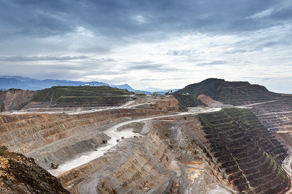
One of OTML’s major continuing concerns is the environmental effects of our operations. We work hard to minimise, mitigate and remediate any damage that we create.Ok Tedi Mine is located in extremely remote and rugged part of PNG. The mine is located at an altitude of approximately 2,000 m, in an area of dense rainforest where the annual average rainfall is approximately 9,000 mm per annum.
The high rainfall contributes to geotechnical hazards comprising of fractured and friable siltstone with limestone outcrops which erode easily, resulting in frequent localised landslips that erode into the riverine system.
This has presented major construction, operational, community and environmental challenges since mining operations commenced in 1984.
Environmental Issues
The Ok Tedi mine originally planned to construct both a tailings dam and a waste rock dump to retain much of the mine derived waste during its mine life.
However, in 1984, during construction of the foundation for the tailings dam at Ok Ma, a landslide inundated the area.
Subsequent State approval was given for an Interim Tailings Storage (ITS) facility which was then constructed to contain tailings at the commencement of operations. Once the design capacity of the ITS was reached in 1986, further State approval was granted for treated tailings to be discharged directly into nearby creeks, eventually flowing into the Ok Tedi and then the Fly Rivers.
In 1989, the Northern waste rock dump, that had been constructed in the upper reaches of Sulphide Creek, was destroyed by a landslide.
Approval was given by the State for OTML to continue using ‘failing’ waste dumps to the North (Sulphide Creek) and South (Harvey Creek/Ok Mani) of the pit.
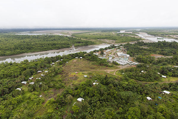
Since then, mine waste is disposed into two tributary systems of the Ok Tedi: Sulphide Creek which joins the Ok Gilor and then the Ok Mabiong before coalescing with the Upper Ok Tedi; and Harvey Creek which joins the Ok Mani before it coalesces with the Ok Tedi at Tabubil.
The discharge of waste rock and tailings has greatly increased the sediment load of the river. While much of the waste rock consists of coarse material, about 60% of it breaks down during transport into finer material in the sand-silt size range. While the gravels are not transported beyond the middle reaches of the Ok Tedi, the finer material passes into the Fly.
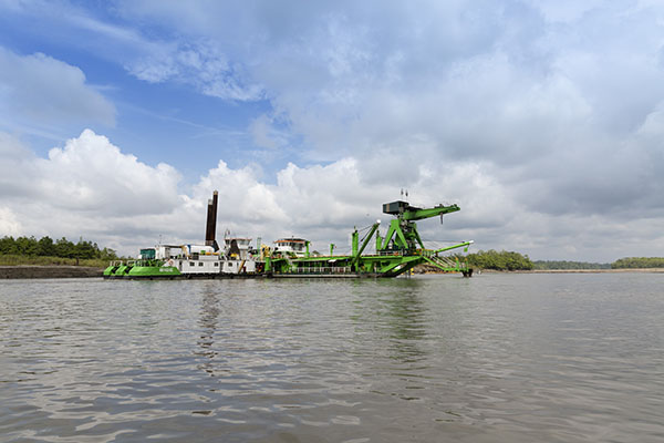
The riverine discharge of tailings and waste rock management continues to be the most significant long-term environmental challenge for OTML.
This has had adverse environmental impacts on the Ok Tedi and Fly River systems and associated eco-systems, which in turn has impacted the livelihood and cultural life of the communities who live along the river corridor.
The OTML Environmental team, consisting of environmental scientists and technicians, is responsible for monitoring the past and present impacts of the mine along the 1,000 km downstream riverine system from the mine to the Fly River Delta. This includes maintaining a hydrological network of monitoring stations along the river system, regular field sampling of water, sediment and food, vegetation surveys, data analysis and reporting.
The Environmental team works closely with the Community Relations team providing environmental information for the stakeholder consultation.
This data is also reported to the State in annual report.
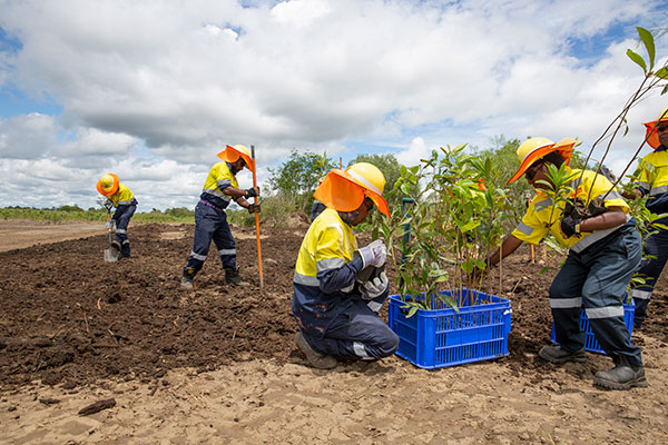
The environmental department has established a nursery and revegetation trials on a number of sections of the Bige stockpiles in preparation for mine closure